The way we farm is being tested. Soil is wearing out, the climate is changing, and fewer people are choosing to grow our food. At the same time, the world expects more from agriculture — better yields, cleaner methods, and fewer resources used.
To keep up, farmers need better tools and clearer information. That’s where high-resolution satellite imagery for agriculture comes in. It shows what’s happening in the field, even before problems are visible. As satellite technology improves, it isn’t just nice to have — it’s becoming essential to sustainable farming’s future.
Farming Under Pressure: Land, Climate, And People
Despite new tools and methods, agriculture is still shaped by land, climate, and people — and all three are under stress. First, soil degradation continues to shrink usable farmland. Around 33% of the world’s soils are already moderately or highly degraded due to erosion, overuse, and poor land management.
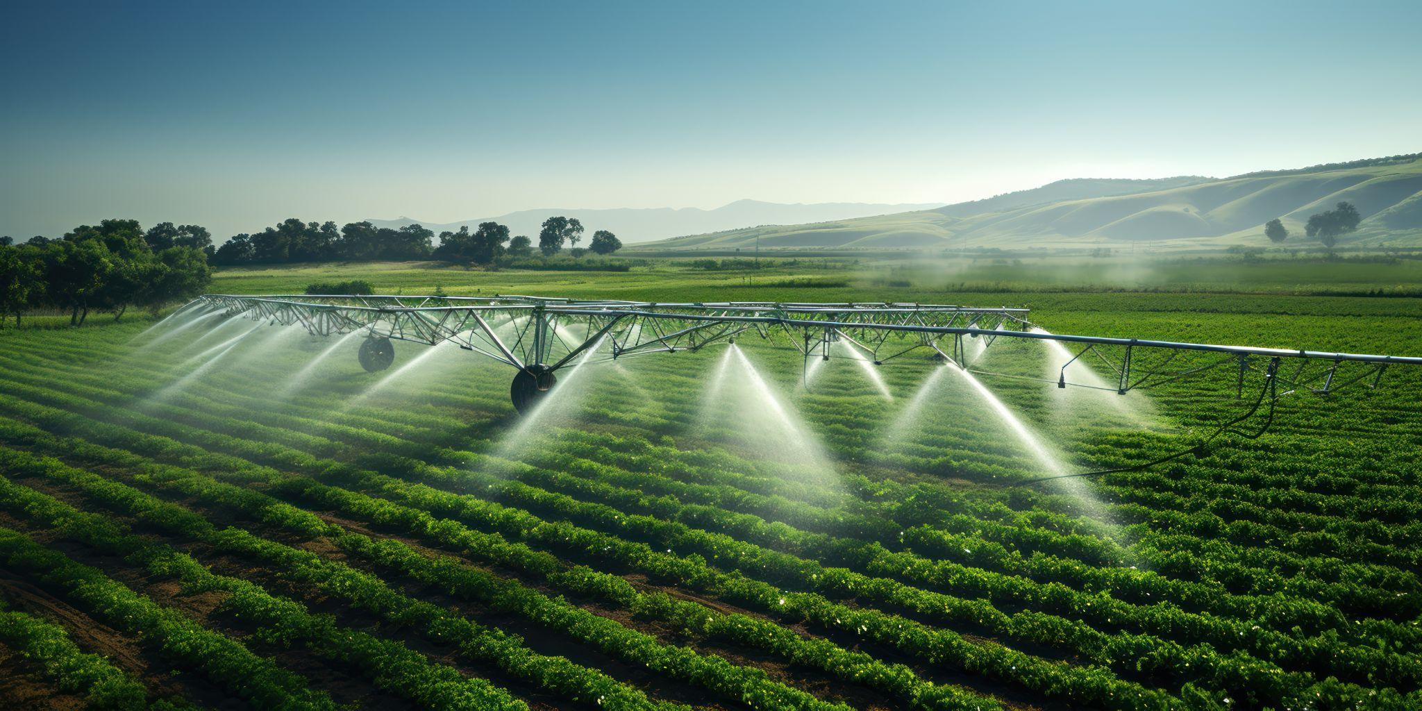
Second, climate extremes hit harder each year. Floods, droughts, and heat waves disrupt planting and harvests. Agriculture uses 70% of global freshwater, but droughts are lasting longer. Without better irrigation, many farms risk crop failure or reduced yields. In some regions, staple crops already yield 10–20% less than a decade ago.
Third, the growing disconnect between farms and society adds pressure. As cities expand, people know less about how food is grown but demand more: cleaner methods, fewer chemicals, and higher nutritional value. Many farms face labor shortages, especially in rural regions. With younger generations leaving agriculture, the average farmer is nearing 60 years old — raising questions about who will grow tomorrow’s food.
Closing The Information Gap In Agriculture With Satellite Imagery
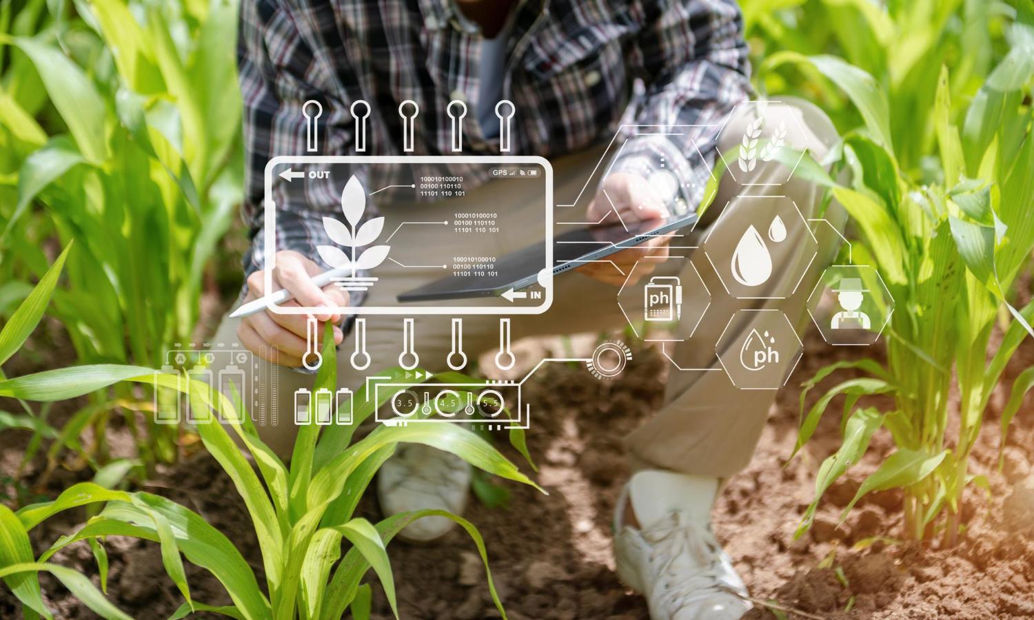
Many challenges in agriculture boil down to one thing: not knowing what’s happening soon enough. Satellite imagery brings consistency to crop monitoring and helps close that information gap — something that field visits or drones can’t always guarantee. While weather, labor, or timing may limit ground checks, satellites pass regularly and provide updates even for the most remote plots.
With different spatial resolutions to choose from and data refreshed every few days, platforms like EOSDA Crop Monitoring use this input to map plant health, detect water stress, and flag areas that need attention. Instead of relying on intuition or routine schedules, farmers get clear signals based on actual crop conditions. Over time, this builds a detailed picture of each field, helping detect unusual patterns and make decisions backed by both current data and historical trends.
What Makes More Growers Turn To Satellite Insights
What’s unique about agriculture satellite data is that it captures both the overall picture for broad overviews and particular features for in-depth analyses. It can help you figure out which areas require which inputs, pinpoint the spread of certain diseases or pests, and monitor the progress of your plants to see if they’re growing at the expected rate.
Smarter Use Of Water And Chemicals
Satellite imagery transforms farm inputs from blunt tools to precise instruments. Fields receive fertilizer only where soil analysis shows deficiencies, based on hyperspectral data capturing 30-500 narrow bands. Water application matches actual soil moisture needs identified through thermal and multispectral imaging. Pesticides target specific problem areas when satellites detect plant stress indicators before symptoms become visible. Weed management improves as satellite imagery analysis distinguishes weed patches from crops, enabling targeted herbicide spraying and reducing chemical application, sometimes by up to 90%.
Spotting Crop Problems Before They Spread
Crops under stress reflect light differently — satellite images of agricultural land pick up on this long before the damage is visible. Diseases like rust or pests like aphids alter chlorophyll levels and canopy temperature, which show up as anomalies in NDVI (normalized difference vegetation index) or thermal bands. Early detection of crop diseases lets farmers treat only the affected zones, avoiding blanket fungicide use. The same applies to drought stress: thermal sensors highlight hotspots where irrigation must be adjusted. This makes intervention faster, cheaper, and more precise.
Better Harvest Planning With Fewer Losses
Forecasting crop yields is no longer based on rough estimates. With precision agriculture satellite imagery and AI models trained on historical growth and weather data, farmers can now predict yields with higher accuracy, often 4–8 weeks ahead. These forecasts are tied to real field indicators like crop phenology and vegetation health. This kind of monitoring covers huge regions, so both farmers and policymakers get the information they need — farmers to cut losses and officials to manage food supplies.
Cutting Costs And Environmental Impact
When farming decisions are driven by satellite data, inputs serve a purpose — not a schedule. By moving away from routine spraying and fixed irrigation plans, farmers reduce the waste that often comes from guesswork. Agriculture satellite images guide actions based on need: where to fertilize, when to water, and which patches actually require treatment.
This precision saves fuel, cuts emissions, and prevents chemicals from washing into ecosystems. It also helps farmers avoid overcorrecting, such as watering already moist soil or spraying healthy crops. The result is a system that balances productivity with responsibility — reducing agriculture’s footprint without sacrificing output or putting natural resources at risk.
Satellite Technology As The Next Chapter In Farming
Satellite-based farming is moving from innovation to everyday practice. By 2030, images from space will be clearer, cheaper, and easier to use. These tools won’t work alone — farmers will use them together with smart sensors, AI, and drones. Autonomous machines will rely on satellite signals to work more efficiently. Most importantly, adoption keeps growing.
And as younger farmers lead the way in adoption, satellite imagery use in agriculture will become not just a trend, but a regular part of tomorrow’s farming life.